
Pacific Crest Trail at Cascade Locks
Sea-level Columbia River crossing with dramatic gorge scenery
- Where
- Cascade Locks, Mt. Hood & the Columbia River Gorge
- Directions
- Directions
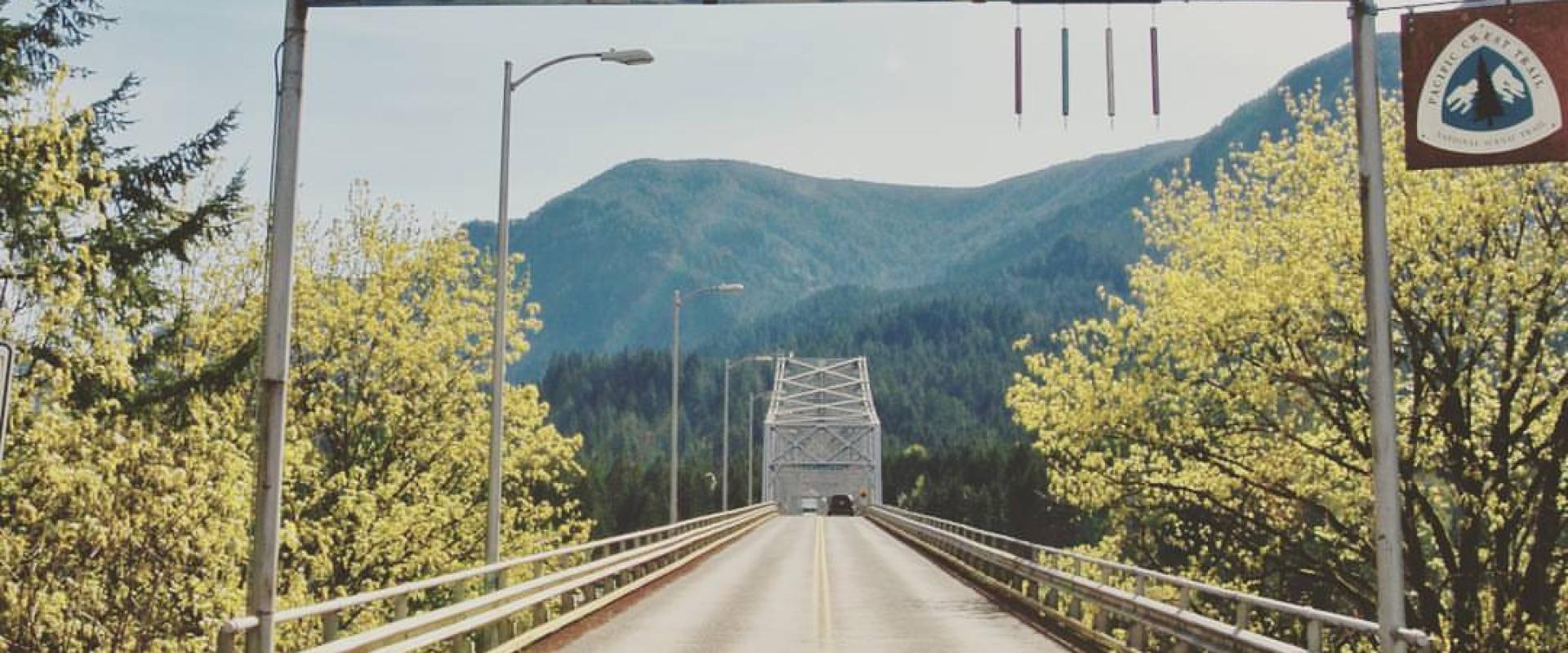
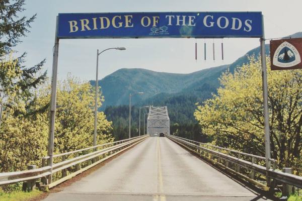
The Pacific Crest Trail runs for about 2,650 miles from the border with Mexico to the border with Canada (the PCT), and at Cascade Locks it reaches its lowest point. The trail crosses the Columbia River here on the Bridge of the Gods, at an elevation of only a little above sea level, and it passes through the small town of Cascade Locks on the way. After so many miles at altitude in the Sierra Nevada and Cascades, hikers find the sudden drop to the river a notable moment, and many treat it as a milestone before the trail climbs back into the Washington Cascades.
For hikers, Cascade Locks is a classic stop. It is about 45 miles east of Portland on Interstate 84, and the trail passes close to the town, so that long-distance hikers, often called thru-hikers, come off the trail to rest, resupply and eat. The town has a few shops, restaurants and lodging, and it has a long tradition of welcoming hikers. The nearby trailheads also give day hikers access to the trail, and short out-and-back walks can be made from various points near the highway. The terrain on the Oregon side includes steep, forested slopes and rocky sections, with the trail climbing toward higher ground south of the river, and the surrounding mountains rise about 4,000 feet above the water in places.
The Columbia River Gorge shapes the setting. Steep cliffs, waterfalls and dense forest line both sides of the river, with several well-known waterfalls and trails within easy reach, including the Eagle Creek Trail a short drive west. The Bridge of the Gods itself, which carries the trail across, has panoramic views of the river and the gorge, and its steel deck can be walked, with care, since it is shared with traffic. A trail monument and signs mark the route, and the town's small museum, the Cascade Locks Historical Museum in Marine Park, holds the Oregon Pony, an 1862 steam locomotive that is one of the oldest in the Pacific Northwest. The historic locks, built to bypass the rapids in the 1890s, are also part of the area's story.
The area is accessible year-round, but conditions vary. Summer is hot and dry on the south-facing slopes, and fire closures can affect the trail, while winter can bring snow, ice and landslides. It is wise to check current trail conditions and closures with the Forest Service before setting out. Water is scarce on some stretches, so carry enough.
It suits long-distance hikers, day hikers and anyone who likes the idea of standing on a famous trail. Bonneville Dam and Cascade Locks Marine Park are close, making it easy to turn a short visit into a full day.
Categories
More photos coming soon
Nearby Attractions
Other places to visit in Cascade Locks
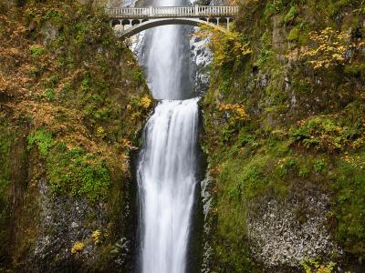
Multnomah Falls
Natural Wonders · Hiking Trails
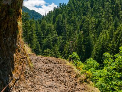
Eagle Creek Trail
Challenging 12-mile hike through Columbia River Gorge with dramatic waterfall views
Natural Wonders · Hiking Trails
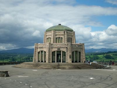
Vista House at Crown Point
History & Heritage · Architecture
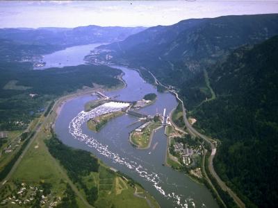
Bonneville Dam
1938 hydropower plant with underwater fish ladder viewing
Free History & Heritage · Natural Wonders
Questions people ask
Quick Facts
Best Time to Visit
May through September offers the best weather for outdoor activities in the Columbia River Gorge.