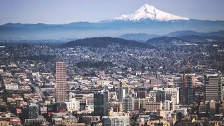
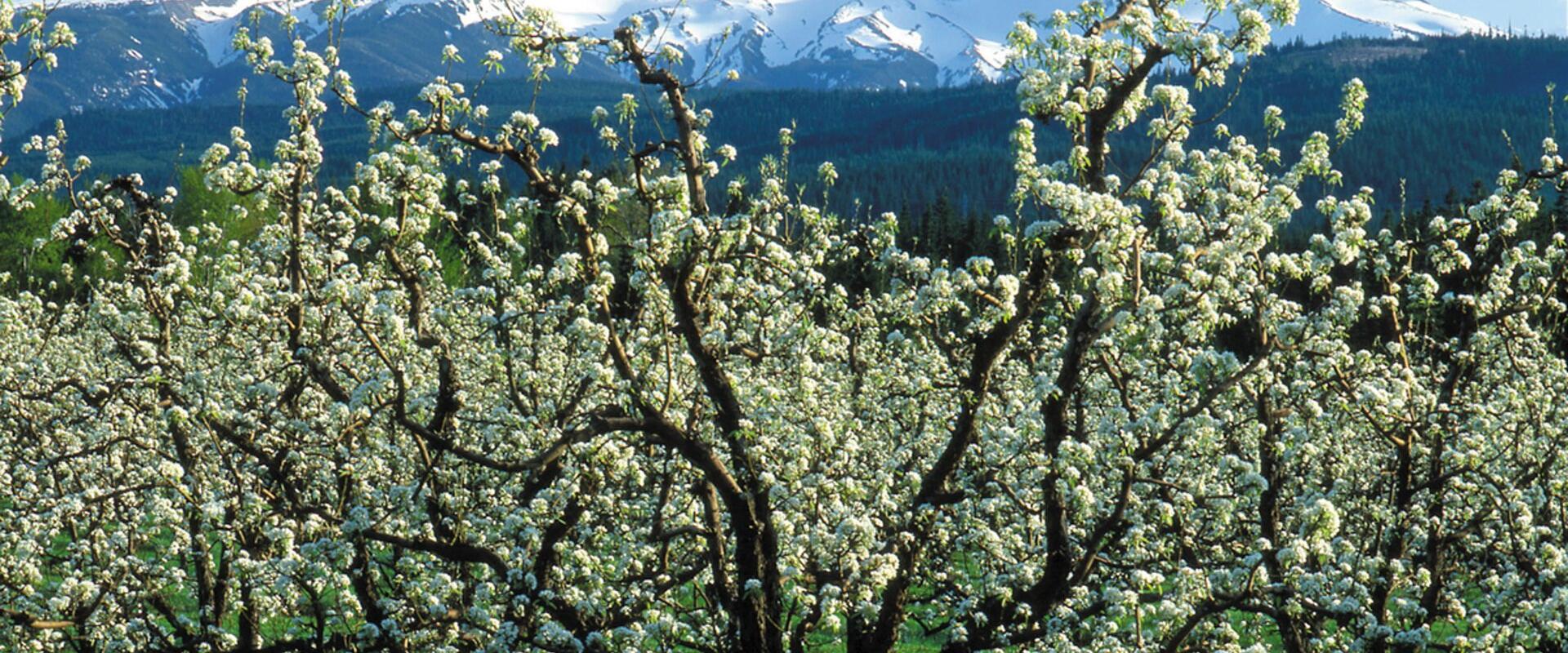
Mount Hood Scenic Byway
Scenic loop through orchards and Mount Hood National Forest with year-round recreation
- Where
- Hood River, Mt. Hood & the Columbia River Gorge
- Directions
- Directions
The Mount Hood Scenic Byway follows Oregon Route 35 south from the Hood River Valley, climbing through orchards and forest to the flanks of Mount Hood, which at 11,249 feet is the highest peak in Oregon. The byway meets US Highway 26 near Government Camp, and together with Interstate 84 along the Columbia River Gorge, the two roads form a loop around the mountain of about 100 miles. The loop is one of the most popular day drives in Oregon, and it can be driven in either direction.
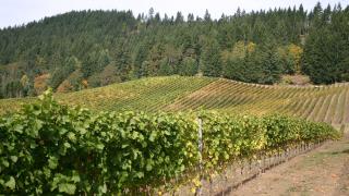
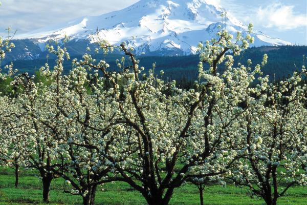
The drive starts in Hood River, where the road climbs gently into the valley. Orchards of pears, apples and cherries line the route near Odell and Parkdale, and the Hood River Valley Fruit Loop shares this landscape, with farm stands open in season. As the road climbs, the orchards give way to forests of fir and hemlock inside Mount Hood National Forest. Along the way there are trailheads, picnic areas and scenic viewpoints; the best, in clear weather, give a sweeping look at the glaciers and the snow-capped summit. Tamanawas Falls and several other trails start near the highway, and the area around Sherwood Campground is a popular base.
The road goes past the access roads for several ski areas, including Mount Hood Meadows, and the whole area is a four-season playground. In winter people come to ski and snowboard, snowshoe and sled, and in summer to hike, camp, fish and mountain bike. The 40-mile Timberline Trail circles the mountain and crosses parts of the byway's corridor, offering shorter day hikes for those not up for the full circuit. In late summer wildflower meadows bloom on the slopes. At the southern end, near Government Camp, the Mount Hood Cultural Center and Museum has exhibits on the history of the area, including the story of skiing on the mountain, and Timberline Lodge, a well-known 1930s lodge, lies a short drive up the mountain.
Conditions on the byway change with the season. It is open all year, but in winter the road can be snow-covered or icy, and traction devices may be required, so check weather and road conditions before you set out. Storms, snow and wildfire damage can close sections at short notice, and some trailheads need a Northwest Forest Pass.
The drive suits anyone who wants to see the mountain without a major hike. Allow at least half a day for the loop, more if you plan to stop at orchards or trailheads, and carry water, snacks and warm clothes. The Mount Hood Railroad and the Columbia Gorge Hotel in Hood River are good additions to a day in the area.
Categories
More photos coming soon
Nearby Attractions
Other places to visit in Hood River

Hood River Valley Fruit Loop
35 mile self guided drive through 14000 acres of orchards
Free Food & Drink · History & Heritage
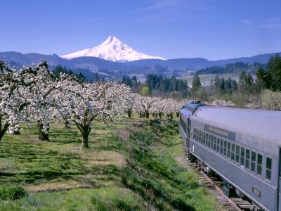
Mount Hood Railroad
Historic heritage railroad climbing through orchards and forests to Mount Hood
History & Heritage · Recreation & Sports
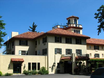
Columbia Gorge Hotel
Historic 1921 hotel overlooking Columbia River and Wah-gwin-gin Falls
Free History & Heritage · Nature & Gardens
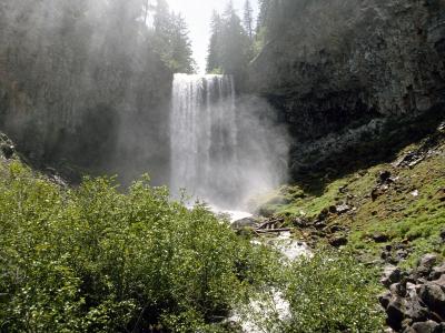
Tamanawas Falls
100-foot waterfall on Cold Spring Creek in Mount Hood National Forest
Natural Wonders · Hiking Trails
Questions people ask
Quick Facts
Best Time to Visit
May through September offers warm, dry weather ideal for outdoor activities.