



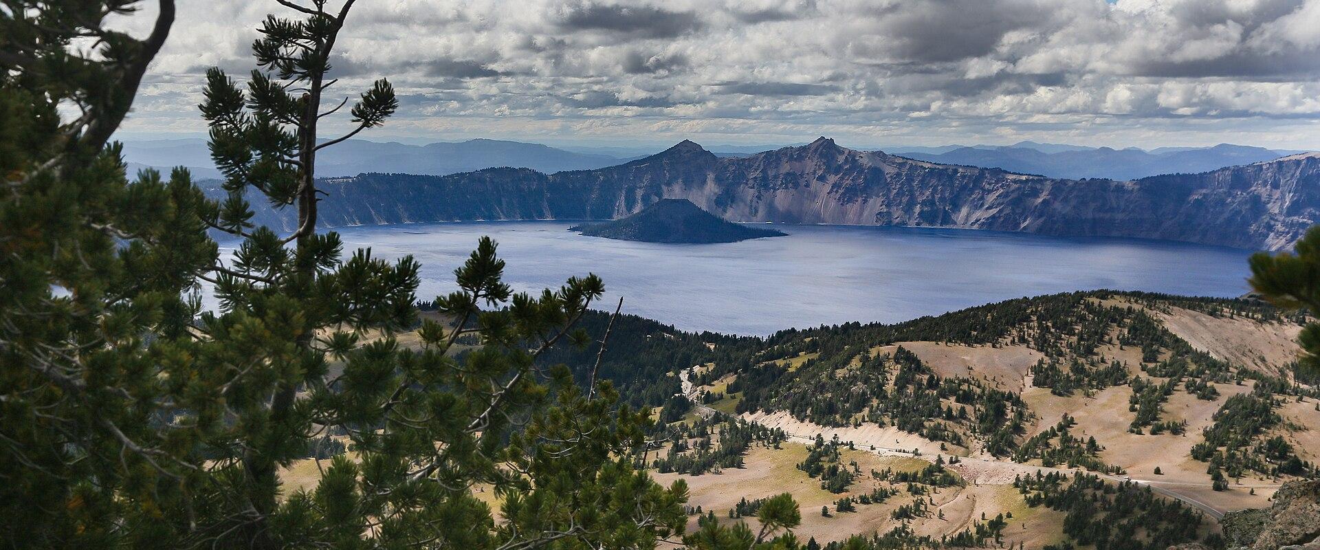
Mount Scott
Highest point in Crater Lake National Park with historic fire lookout
- Where
- Crater Lake, Southern Oregon
- Directions
- Directions
Mount Scott, at 8,929 feet, is the highest point in Crater Lake National Park, and the summit offers the most complete view of the lake and the surrounding country. It rises on the eastern side of the caldera, and a historic fire lookout stands at the top. The mountain was named for Levi Scott, an Oregon pioneer who helped to open the Applegate Trail, a route that brought settlers into the Willamette Valley. Geologically, it is a stratovolcano, one of several that stood near Mount Mazama and dates to the time before the great eruption that formed the lake, and its slopes are made of old lava flows.
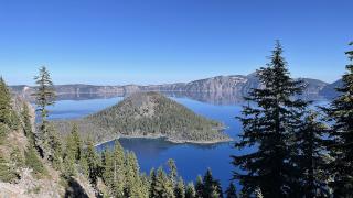
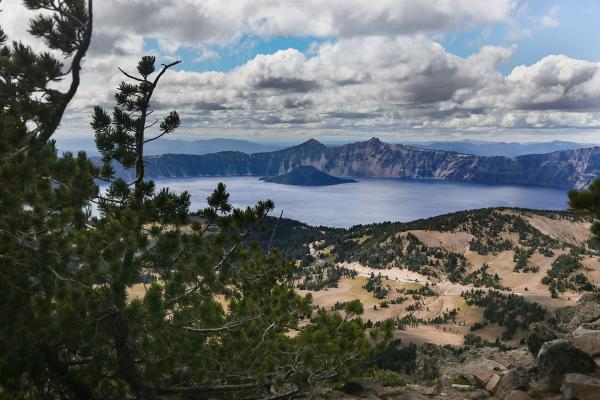
The hike to the top is one of the most popular in the park. It begins at a trailhead on Rim Drive, on the east side of the lake, and runs for about 4.4 miles round trip, with an elevation gain of roughly 1,250 feet. The trail is moderate, climbing steadily in long switchbacks through whitebark pine and hemlock forest and then across open slopes of volcanic rubble. Along the way the views open up gradually. At first you see the Cascade country to the east, and then the lake appears below, with Wizard Island and Phantom Ship as small dots on its surface. Near the top the trail becomes windy and exposed.
From the summit, the view is vast. The deep blue lake fills the caldera, with the rim in a ring around it, and on a clear day the horizon takes in Mount Thielsen to the north, the Three Sisters in the distance and, to the south, Mount Shasta in California, along with the high desert that stretches east. The fire lookout at the summit is a small building where rangers once watched for smoke, and while it is generally closed to the public, it adds a touch of history to the scene.
Conditions on the mountain change quickly. Weather at the summit can turn windy, cold and stormy, even in midsummer, so bring layers, a hat and gloves, and carry water, since none is available on the trail. The path is usually clear of snow only from about July, and snow can linger into early summer, so check with the park before setting out. Afternoon thunderstorms can occur, so it is best to start early, and lightning on the summit is a serious hazard.
The hike suits fit visitors who want a view without a very long walk. It combines well with Discovery Point and the Phantom Ship Overlook along Rim Drive; the Cleetwood Cove Trail to the shore is closed until summer 2029.
Categories
More photos coming soon
Nearby Attractions
Other places to visit in Crater Lake
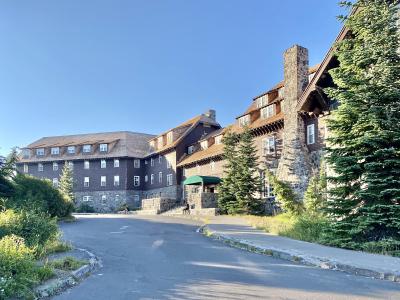
Crater Lake Lodge
Historic 1915 lodge with deep blue caldera views
Architecture · National Parks
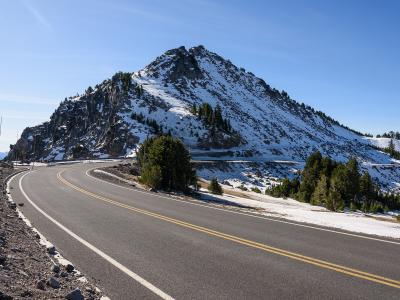
Rim Drive
33-mile scenic loop around Crater Lake rim with over 30 pullouts
Natural Wonders · National Parks
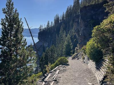
Cleetwood Cove Trail
The only trail to Crater Lake's shore, closed for rebuilding until 2029
Natural Wonders · Recreation & Sports
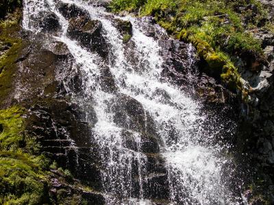
Plaikni Falls
Gentle 2-mile hike through old-growth forest to snowmelt-fed waterfall
Natural Wonders · Hiking Trails
Questions people ask
Quick Facts
Best Time to Visit
July to September, when Rim Drive and the north entrance are open. The Cleetwood Cove Trail to the lake shore is closed until summer 2029, so there are no boat tours or swimming until then.