Pilot Butte State Scenic Viewpoint
Extinct cinder cone with 360-degree Cascade Range views
- Admission
- Free
- Where
- Bend, Central Oregon
- Directions
- Directions
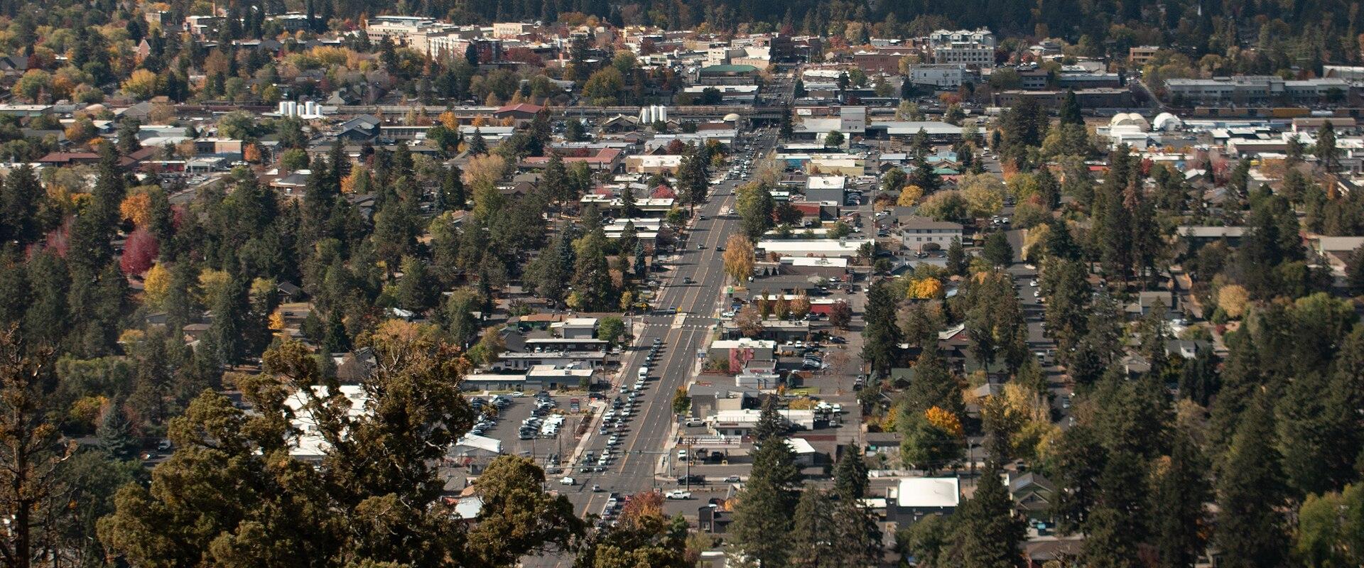
Pilot Butte is an extinct cinder cone rising about 500 feet above the east side of Bend, and it is a landmark that can be seen from much of the city. Its summit stands at roughly 4,100 feet, and the Pilot Butte State Scenic Viewpoint is in the middle of Central Oregon's best-known city, so entry is free and the paths are open to everyone. The butte was formed by a volcanic vent that threw out cinders and fragments of lava, which piled into a steep-sided cone, and the park's bare, reddish slopes, with scattered junipers and sagebrush, show its volcanic origin clearly. Early travellers used it as a navigation point across the open plain, which probably gave rise to its name.
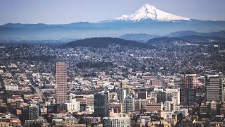
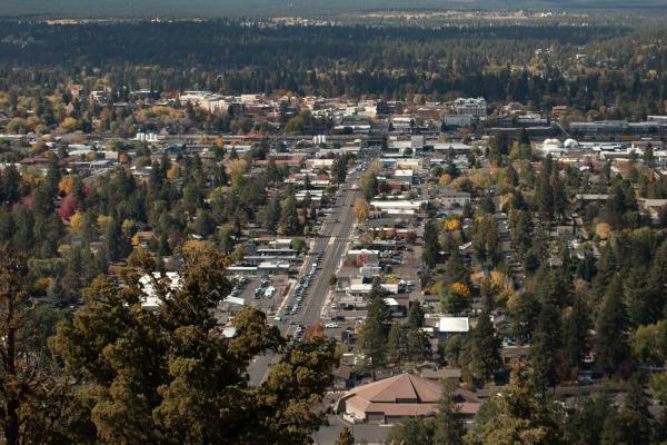
The butte is above all a viewpoint. From the summit you can see the whole of Bend laid out below, with the Deschutes River winding through town, and beyond it a line of snow-covered Cascade Range peaks that stretches from Mount Hood in the north to the Three Sisters, Broken Top and Mount Bachelor to the south-west, together with Mount Washington, Three Fingered Jack and Mount Jefferson. A display at the top, with a ring of plaques, identifies the peaks, and on a clear day it is possible to count about nine. To the east lies the open high desert, a view that shows the contrast between the volcanic range and the dry plateau. Sunrise and sunset are especially popular times to be on the summit.
A trail leads to the top from the east-side parking lot and climbs steadily, with a round trip of about two miles. It is a short climb, rated easy to moderate, though the grade is steep and the surface is loose volcanic rock in places, so sturdy shoes are advisable. Many locals use the trail daily for exercise, and runners and cyclists often use the steep grades for training. Families and casual walkers also manage it, taking their time and enjoying the views on the way up. Dogs are welcome on leash.
A road also runs to the summit, and it is open to vehicles on a seasonal basis, typically from May 1 to September 30 and from mid-morning until dusk. In winter, the road is closed to cars, so the walk is the only way up and the last stretch must be done on foot. The park itself is open year-round.
The butte is located just east of downtown Bend, off Highway 20. It suits anyone who wants a quick, rewarding climb and a view without a long hike. Afterwards, the Old Mill District, Drake Park and the Deschutes River Trail are a short drive away.
Categories
More photos coming soon
Admission Fees
- Admission
- Free
Hours and prices change, especially out of season. Check with the venue before you go.
Nearby Attractions
Other places to visit in Bend
Smith Rock State Park
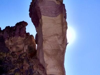
High-desert park with volcanic tuff walls above the Crooked River
Natural Wonders · Recreation & Sports
Newberry National Volcanic Monument
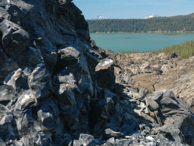
54,000-acre shield volcano with caldera lakes, lava flows, and hiking trails
Geological Sites · Hiking Trails
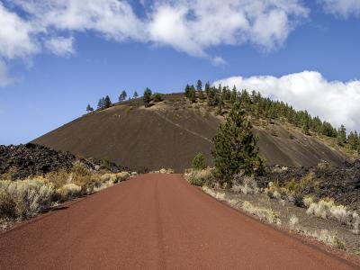
Lava Lands Visitor Center
Information center at Lava Butte base with trail access and Cascade Range views
Geological Sites · Hiking Trails
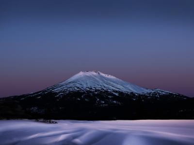
Mount Bachelor
Volcanic peak with 4,300 acres of lift-served terrain and long ski season
Natural Wonders · Recreation & Sports
Questions people ask
Quick Facts
Best Time to Visit
May to October, with June through September the warmest and driest.