Why Bend Works as a Base
Bend sits on the dry east side of the Cascades at about 3,600 feet, where ponderosa pine forest meets sagebrush desert. That location puts several very different kinds of terrain within half an hour of town: volcanic buttes, waterfalls on the flanks of the Cascades, one of the best-known mountain bike networks in the Northwest, and the cliffs of Smith Rock. Summers are dry and sunny, nights are cool even in July, and many trails at higher elevations stay under snow into early summer.
This guide covers four core outings, from an hour-long hike in town to a full day of climbing.
Pilot Butte: The In-Town Hike
Pilot Butte is a cinder cone on the east side of Bend, protected as Pilot Butte State Scenic Viewpoint. The summit trail climbs about 480 feet in roughly a mile, so the round trip is about two miles. It is steep and exposed, with no shade, but it is short enough for most families and fit enough walkers to do in an hour.
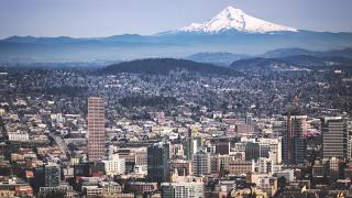
From the top, a viewfinder identifies the Cascade peaks on the western skyline, from Mount Bachelor and the Three Sisters north toward Mount Jefferson and, on clear days, Mount Hood. Go early on summer mornings to beat the heat. A paved road also reaches the summit and is open to cars seasonally.
Tumalo Falls and the Skyliner Area
Tumalo Falls drops 97 feet over a cliff west of Bend, at the end of Skyliner Road and a final stretch of forest road. The viewpoint is a few steps from the parking area, and a trail continues up Tumalo Creek past several smaller falls; walk as far as you like and turn around. A recreation pass such as the Northwest Forest Pass is required to park.
The road to the falls is gated in winter and usually opens in late spring once the snow melts, so check the Deschutes National Forest's conditions page if you are visiting before June. Much of the surrounding forest burned in a 1979 fire, which is why the views are so open near the falls.
Mountain Biking West of Town
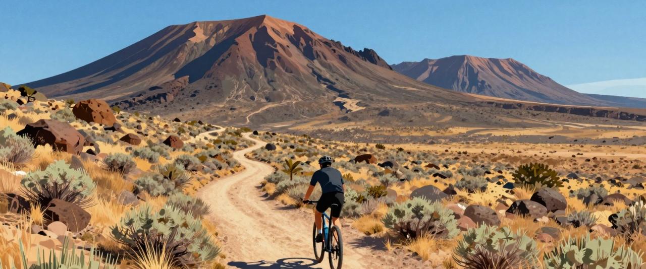
Bend's reputation as a mountain bike town comes largely from the trail network west of the city, reached from the Phil's Trailhead area off Skyliner Road. The trails wind through pine forest on pumice and dust, with mostly rolling terrain that suits intermediate riders, plus more technical lines for experts. Trails at higher elevations, toward Mount Bachelor, open later in the summer.
Several shops in town rent full-suspension bikes and can recommend loops based on your experience. Late summer can be very dusty, and conditions are best after rain in spring and early fall. The Central Oregon Trail Alliance maintains much of the network and posts trail conditions and etiquette guidelines.
Smith Rock State Park
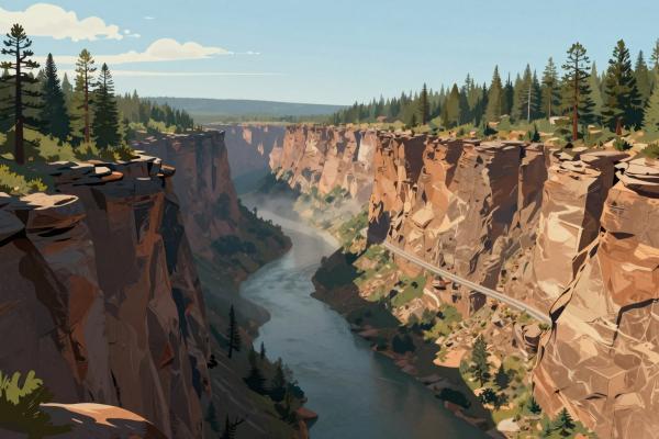
Smith Rock is about 25 miles north of Bend near Terrebonne. Its cliffs of volcanic tuff rise above a bend in the Crooked River, and the park is widely regarded as a birthplace of modern American sport climbing, with routes developed there in the 1980s. It now has thousands of climbing routes across all grades.
You do not need to climb to enjoy it. The Misery Ridge Trail climbs steeply from the river to the top of the ridge, with views of Monkey Face, a free-standing spire, and drops down the far side to return along the river, making a loop of roughly four miles. The River Trail alone is a flat walk along the base of the cliffs.
For climbing, beginners should go with a licensed guide service. The park requires a day-use parking permit, the lots fill early on spring and fall weekends, and summer afternoons are hot with little shade.
Planning Tips
- Best seasons: Late spring and early fall for Smith Rock and hiking; summer for higher trails and biking; Tumalo Falls once the road opens.
- Water and sun: The air is dry and the sun is strong at this elevation. Carry more water than you think you need.
- Fire and smoke: Summer wildfires sometimes close trails or bring smoke. Check the forest service and state parks alerts before you go.
- Passes: You will need a Northwest Forest Pass or equivalent for many forest trailheads and a state parks permit for Smith Rock.